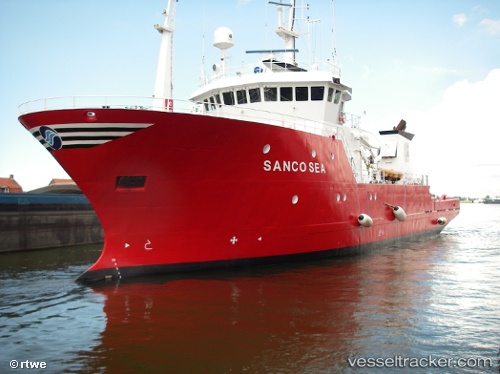
 GEO OCEAN VIII
Current Status
Where is the vessel?
GEO OCEAN VIII is currently in 36 nm N of Town Quays/Drogheda, based on AIS data received about 14h ago.
Latest AIS update:
Current position: 54.30706° N, 6.39680° E (36 nm N of Town Quays/Drogheda)
Average speed (last 7 days): Loading…
Average speed (last 30 days): Loading…
Vessel profile: GEO OCEAN VIII is a Research/Survey Vessel with dimensions m x m.
This page combines live AIS, route history, probable destination signals, nearby traffic, and port activity for practical vessel monitoring.
The current position of vessel GEO OCEAN VIII is 54.30706 lat / 6.39680 lng. Updated: 2026-05-18 23:00:32 UTCNearest reference points:
- 14 nm NW of Town Quays/Drogheda
- Near Borkum
- Near NORDERNEY
Details:
Live Vessel GEO OCEAN VIII Analytics (details, animations, etc.)
Recent AIS points (UTC):
2026-05-18 19:14:11 UTC · 54.34021, 6.46103 · SOG 5.5 kn · COG 44°2026-05-18 20:22:32 UTC · 54.33073, 6.43784 · SOG 5.7 kn · COG 243°
2026-05-18 21:44:05 UTC · 54.30960, 6.40906 · SOG 5.7 kn · COG 1°
2026-05-18 23:00:32 UTC · 54.30706, 6.39680 · SOG 4.8 kn · COG 215°