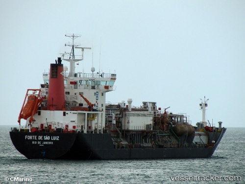
 FORTE DE SAO LUIZ
Current Status
Where is the vessel?
FORTE DE SAO LUIZ is currently in Near Fortaleza, based on AIS data received about 14h ago.
Latest AIS update:
Current position: 3.69561° S, 38.50260° W (Near Fortaleza)
Average speed (last 7 days): Loading…
Average speed (last 30 days): Loading…
Vessel profile: FORTE DE SAO LUIZ is a Lpg Tanker with dimensions m x m.
This page combines live AIS, route history, probable destination signals, nearby traffic, and port activity for practical vessel monitoring.
The current position of vessel FORTE DE SAO LUIZ is -3.69561 lat / -38.50260 lng. Updated: 2026-05-21 11:37:33 UTCNearest reference points:
- 28 nm N of Pecém Pt/São Gonçalo do Amarante
- 81 nm N of Acarau
Details:
Live Vessel FORTE DE SAO LUIZ Analytics (details, animations, etc.)
Recent AIS points (UTC):
2026-05-21 08:25:27 UTC · -3.69609, -38.50261 · SOG 0.1 kn · COG 97°2026-05-21 10:25:28 UTC · -3.69564, -38.50267 · SOG 0 kn · COG 109°
2026-05-21 10:34:31 UTC · -3.69567, -38.50272 · SOG 0 kn · COG 109°
2026-05-21 11:37:33 UTC · -3.69561, -38.50260 · SOG 0 kn · COG 113°