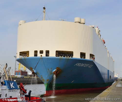
 FRONTIER ACE
Current Status
Where is the vessel?
FRONTIER ACE is currently in 89 nm NW of Yucatan Channel, based on AIS data received about 23h ago.
Latest AIS update:
Current position: 22.88453° N, 86.17308° W (89 nm NW of Yucatan Channel)
Average speed (last 7 days): Loading…
Average speed (last 30 days): Loading…
Vessel profile: FRONTIER ACE is a Vehicles Carrier with dimensions m x m.
This page combines live AIS, route history, probable destination signals, nearby traffic, and port activity for practical vessel monitoring.
The current position of vessel FRONTIER ACE is 22.88453 lat / -86.17308 lng. Updated: 2026-05-19 10:24:20 UTCNearest reference points:
- Near Puerto Juárez
- 58 nm S of San Julian
Currently sailing under the flag of Japan ![]()
Details:
Live Vessel FRONTIER ACE Analytics (details, animations, etc.)
Recent AIS points (UTC):
2026-05-19 10:24:20 UTC · 22.88453, -86.17308 · SOG 15.5 kn · COG 86°2026-05-19 10:24:20 UTC · 22.88453, -86.17308 · SOG 15.5 kn · COG 86°
2026-05-19 10:24:20 UTC · 22.88453, -86.17308 · SOG 15.5 kn · COG 86°
2026-05-19 10:24:20 UTC · 22.88453, -86.17308 · SOG 15.5 kn · COG 86°