 BRABUS
Current Status
Where is the vessel?
BRABUS is currently in Near Al Latakia, based on AIS data received about 14h ago.
Latest AIS update:
Current position: 35.52806° N, 35.75882° E (Near Al Latakia)
Average speed (last 7 days): Loading…
Average speed (last 30 days): Loading…
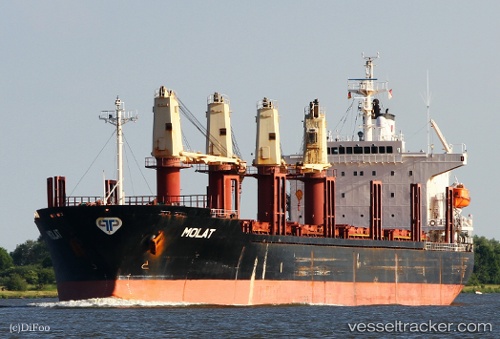
Vessel profile: BRABUS is a Bulk Carrier with dimensions m x m.
This page combines live AIS, route history, probable destination signals, nearby traffic, and port activity for practical vessel monitoring.
The current position of vessel BRABUS is 35.52806 lat / 35.75882 lng. Updated: 2026-05-18 18:21:49 UTCNearest reference points:
- Near Al Latakia
- Near Al Ladhiqiyah
- Near Tartous
Currently sailing under the flag of Vanuatu ![]()
Details:
Live Vessel BRABUS Analytics (details, animations, etc.)
Recent AIS points (UTC):
2026-05-18 13:31:46 UTC · 35.52810, 35.75878 · SOG 0 kn · COG -1°2026-05-18 16:01:45 UTC · 35.52809, 35.75879 · SOG 0 kn · COG -1°
2026-05-18 16:55:44 UTC · 35.52811, 35.75877 · SOG 0.1 kn · COG -1°
2026-05-18 18:21:49 UTC · 35.52806, 35.75882 · SOG 0 kn · COG -1°