 MSC RUTH F
Current Status
Where is the vessel?
MSC RUTH F is currently in Near TEKIRDAG, based on AIS data received about 15h ago.
Latest AIS update:
Current position: 40.89020° N, 27.70318° E (Near TEKIRDAG)
Average speed (last 7 days): Loading…
Average speed (last 30 days): Loading…
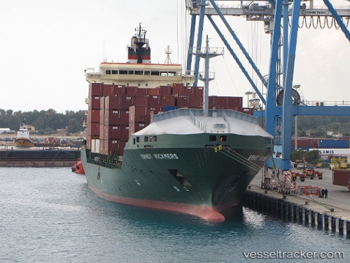
Vessel profile: MSC RUTH F is a Container Ship with dimensions m x m.
This page combines live AIS, route history, probable destination signals, nearby traffic, and port activity for practical vessel monitoring.
The current position of vessel MSC RUTH F is 40.89020 lat / 27.70318 lng. Updated: 2026-05-22 23:54:11 UTCNearest reference points:
- Near TEKIRDAG
- Near Saraylar
- Near Marmara Adasi
Currently sailing under the flag of Liberia ![]()
Details:
Live Vessel MSC RUTH F Analytics (details, animations, etc.)
Recent AIS points (UTC):
2026-05-22 20:01:01 UTC · 40.91061, 27.74857 · SOG 0.7 kn · COG 300°2026-05-22 21:35:11 UTC · 40.90098, 27.72898 · SOG 0.7 kn · COG 289°
2026-05-22 22:06:02 UTC · 40.89802, 27.72319 · SOG 0.7 kn · COG 289°
2026-05-22 23:54:11 UTC · 40.89020, 27.70318 · SOG 0.6 kn · COG 299°