 GEO OCEAN VII
Current Status
Where is the vessel?
GEO OCEAN VII is currently in Near Sas-Slijkens, based on AIS data received about 14h ago.
Latest AIS update:
Current position: 51.22053° N, 2.93983° E (Near Sas-Slijkens)
Average speed (last 7 days): Loading…
Average speed (last 30 days): Loading…
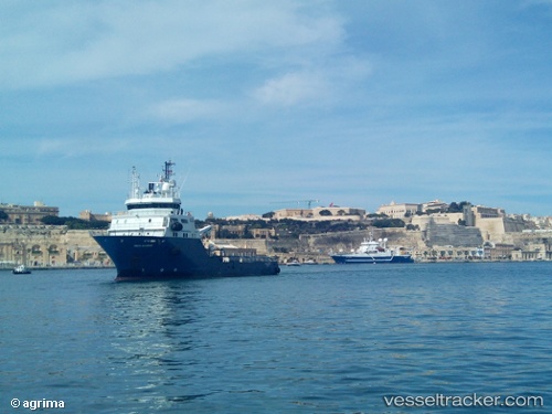
Vessel profile: GEO OCEAN VII is a Research/Survey Vessel with dimensions m x m.
This page combines live AIS, route history, probable destination signals, nearby traffic, and port activity for practical vessel monitoring.
The current position of vessel GEO OCEAN VII is 51.22053 lat / 2.93983 lng. Updated: 2026-05-22 02:05:33 UTCNearest reference points:
- Near Sas-Slijkens
- Near Oostende
- Near Lombardsijde
Details:
Live Vessel GEO OCEAN VII Analytics (details, animations, etc.)
Recent AIS points (UTC):
2026-05-21 21:53:27 UTC · 51.22050, 2.93976 · SOG 0 kn · COG 299°2026-05-21 22:08:27 UTC · 51.22050, 2.93970 · SOG 0 kn · COG 299°
2026-05-22 01:23:33 UTC · 51.22054, 2.93980 · SOG 0 kn · COG 299°
2026-05-22 02:05:33 UTC · 51.22053, 2.93983 · SOG 0 kn · COG 299°