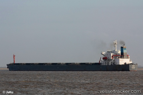
 EAST ACE
Current Status
Where is the vessel?
EAST ACE is currently in 112 nm SW of Al Qunfudah, based on AIS data received about 14h ago.
Latest AIS update:
Current position: 18.19405° N, 39.35653° E (112 nm SW of Al Qunfudah)
Average speed (last 7 days): Loading…
Average speed (last 30 days): Loading…
Vessel profile: EAST ACE is a Bulk Carrier with dimensions m x m.
This page combines live AIS, route history, probable destination signals, nearby traffic, and port activity for practical vessel monitoring.
The current position of vessel EAST ACE is 18.19405 lat / 39.35653 lng. Updated: 2026-05-21 10:48:45 UTCNearest reference points:
- 99 nm SW of Al Qunfudah
- 92 nm SW of Al Qahmah
- 53 nm SW of SHUAIBAH
Currently sailing under the flag of Panama ![]()
Details:
Live Vessel EAST ACE Analytics (details, animations, etc.)
Recent AIS points (UTC):
2026-05-21 07:22:09 UTC · 18.80017, 39.06461 · SOG 11.6 kn · COG 159°2026-05-21 08:12:59 UTC · 18.65047, 39.13243 · SOG 11.5 kn · COG 156°
2026-05-21 09:55:20 UTC · 18.35163, 39.27685 · SOG 11.8 kn · COG 139°
2026-05-21 10:48:45 UTC · 18.19405, 39.35653 · SOG 11.7 kn · COG 156°