 EXPLORER
Current Status
Where is the vessel?
EXPLORER is currently in 118 nm SW of RATNAGIRI, based on AIS data received about 14h ago.
Latest AIS update:
Current position: 16.16855° N, 71.41425° E (118 nm SW of RATNAGIRI)
Average speed (last 7 days): Loading…
Average speed (last 30 days): Loading…
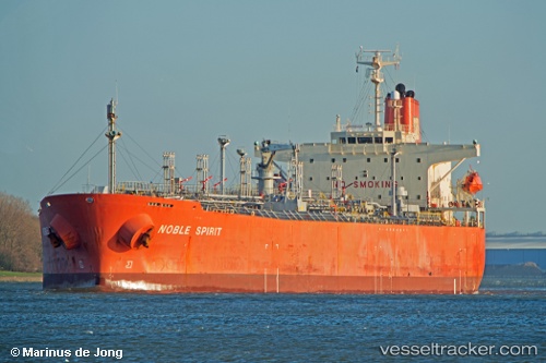
Vessel profile: EXPLORER is a Oil/Chemical Tanker with dimensions m x m.
This page combines live AIS, route history, probable destination signals, nearby traffic, and port activity for practical vessel monitoring.
The current position of vessel EXPLORER is 16.16855 lat / 71.41425 lng. Updated: 2026-05-19 04:51:41 UTCNearest reference points:
- 89 nm W of Marmagao (Marmugao)
- 49 nm W of Pernem
- Near JAIGAD
Currently sailing under the flag of Barbados ![]()
Details:
Live Vessel EXPLORER Analytics (details, animations, etc.)
Recent AIS points (UTC):
2026-05-19 01:31:42 UTC · 15.58753, 71.75637 · SOG 12.5 kn · COG 330°2026-05-19 01:51:22 UTC · 15.64680, 71.72132 · SOG 12.4 kn · COG 330°
2026-05-19 03:17:40 UTC · 15.89137, 71.58057 · SOG 10.8 kn · COG -1°
2026-05-19 04:51:41 UTC · 16.16855, 71.41425 · SOG 12 kn · COG 330°