 TANGO REY
Current Status
Where is the vessel?
TANGO REY is currently in Near TUZLA, based on AIS data received about 15h ago.
Latest AIS update:
Current position: 40.82458° N, 29.24135° E (Near TUZLA)
Average speed (last 7 days): Loading…
Average speed (last 30 days): Loading…
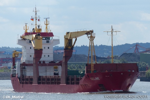
Vessel profile: TANGO REY is a General Cargo with dimensions m x m.
This page combines live AIS, route history, probable destination signals, nearby traffic, and port activity for practical vessel monitoring.
The current position of vessel TANGO REY is 40.82458 lat / 29.24135 lng. Updated: 2026-05-21 19:34:55 UTCNearest reference points:
- Near TUZLA
- Near PENDIK
- Near Tuzla Free Zone
Currently sailing under the flag of Barbados ![]()
Details:
Live Vessel TANGO REY Analytics (details, animations, etc.)
Recent AIS points (UTC):
2026-05-21 16:22:51 UTC · 40.82463, 29.24143 · SOG 0 kn · COG 311°2026-05-21 17:49:52 UTC · 40.82467, 29.24133 · SOG 0 kn · COG 320°
2026-05-21 19:13:56 UTC · 40.82457, 29.24127 · SOG 0 kn · COG 326°
2026-05-21 19:34:55 UTC · 40.82458, 29.24135 · SOG 0 kn · COG 318°