 vesseltracker.com
 BAMSI BEYREK
Current Status
Where is the vessel?
BAMSI BEYREK is currently in Near Mundra, based on AIS data received about 15h ago.
Latest AIS update:
Current position: 22.65954° N, 69.74813° E (Near Mundra)
Average speed (last 7 days): Loading…
Average speed (last 30 days): Loading…
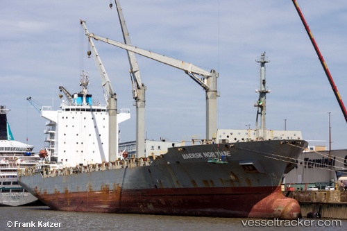
Vessel profile: BAMSI BEYREK is a Container Ship with dimensions m x m.
This page combines live AIS, route history, probable destination signals, nearby traffic, and port activity for practical vessel monitoring.
The current position of vessel BAMSI BEYREK is 22.65954 lat / 69.74813 lng. Updated: 2026-05-17 22:16:28 UTCNearest reference points:
- Near Mundra
- Near SIKKA
- Near Sika
Currently sailing under the flag of Bahamas ![]()
Details:
Live Vessel BAMSI BEYREK Analytics (details, animations, etc.)
Recent AIS points (UTC):
2026-05-17 19:19:15 UTC · 22.66144, 69.75166 · SOG 0.2 kn · COG 263°2026-05-17 19:37:15 UTC · 22.66128, 69.75167 · SOG 0 kn · COG 269°
2026-05-17 21:25:16 UTC · 22.66033, 69.75125 · SOG 0 kn · COG 304°
2026-05-17 22:16:28 UTC · 22.65954, 69.74813 · SOG 0.4 kn · COG 4°