 vesseltracker.com
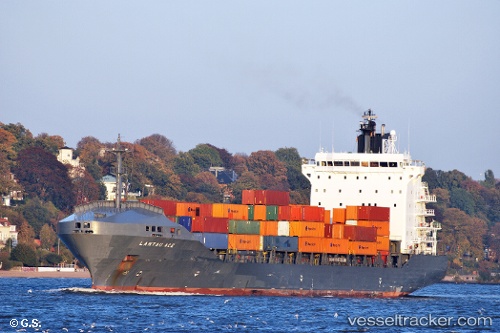
 MALAK M
Current Status
Where is the vessel?
MALAK M is currently in Near Diakofti Kythiron, based on AIS data received about 14h ago.
Latest AIS update:
Current position: 36.28946° N, 23.22481° E (Near Diakofti Kythiron)
Average speed (last 7 days): Loading…
Average speed (last 30 days): Loading…
Vessel profile: MALAK M is a Container Ship with dimensions m x m.
This page combines live AIS, route history, probable destination signals, nearby traffic, and port activity for practical vessel monitoring.
The current position of vessel MALAK M is 36.28946 lat / 23.22481 lng. Updated: 2026-05-18 05:55:44 UTCNearest reference points:
- Near Kythira
- 20 nm E of FOKIANOS
- 17 nm S of Areópolis
Currently sailing under the flag of Panama ![]()
Details:
Live Vessel MALAK M Analytics (details, animations, etc.)
Recent AIS points (UTC):
2026-05-18 02:19:23 UTC · 37.04524, 23.44771 · SOG 12.6 kn · COG 210°2026-05-18 03:54:34 UTC · 36.72409, 23.32961 · SOG 12.8 kn · COG 191°
2026-05-18 04:11:43 UTC · 36.66313, 23.31488 · SOG 13.1 kn · COG 191°
2026-05-18 05:55:44 UTC · 36.28946, 23.22481 · SOG 12.9 kn · COG 189°