 RONG YUAN
Current Status
Where is the vessel?
RONG YUAN is currently in Near TANJUNG PEMANCINGAN, based on AIS data received about 15h ago.
Latest AIS update:
Current position: 3.18476° S, 116.37870° E (Near TANJUNG PEMANCINGAN)
Average speed (last 7 days): Loading…
Average speed (last 30 days): Loading…
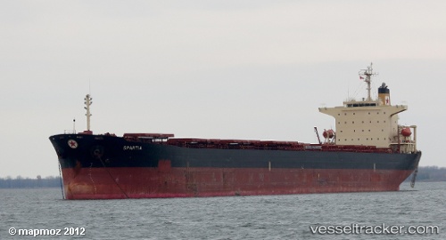
Vessel profile: RONG YUAN is a Bulk Carrier with dimensions m x m.
This page combines live AIS, route history, probable destination signals, nearby traffic, and port activity for practical vessel monitoring.
The current position of vessel RONG YUAN is -3.18476 lat / 116.37870 lng. Updated: 2026-05-21 05:33:40 UTCNearest reference points:
- Near TANJUNG PEMANCINGAN
- 57 nm NE of TANJUNG PEMANCINGAN
- 12 nm SE of Bunati
Currently sailing under the flag of Panama ![]()
Details:
Live Vessel RONG YUAN Analytics (details, animations, etc.)
Recent AIS points (UTC):
2026-05-21 02:33:38 UTC · -3.18479, 116.37885 · SOG 0 kn · COG 349°2026-05-21 04:00:39 UTC · -3.18471, 116.37897 · SOG 0 kn · COG 343°
2026-05-21 04:09:39 UTC · -3.18471, 116.37900 · SOG 0 kn · COG 344°
2026-05-21 05:33:40 UTC · -3.18476, 116.37870 · SOG 0.1 kn · COG 350°