 THEBAUDSEA
Current Status
Where is the vessel?
THEBAUDSEA is currently in 31 nm SW of Bataduwa, based on AIS data received about 14h ago.
Latest AIS update:
Current position: 5.92500° N, 79.66667° E (31 nm SW of Bataduwa)
Average speed (last 7 days): Loading…
Average speed (last 30 days): Loading…
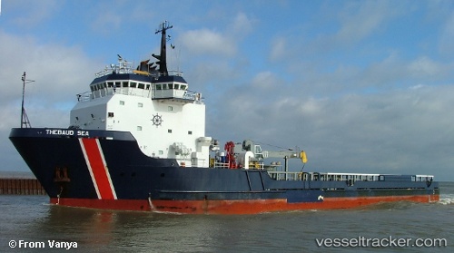
Vessel profile: THEBAUDSEA is a Offshore Supply Ship with dimensions m x m.
This page combines live AIS, route history, probable destination signals, nearby traffic, and port activity for practical vessel monitoring.
The current position of vessel THEBAUDSEA is 5.92500 lat / 79.66667 lng. Updated: 2026-05-22 16:49:47 UTCNearest reference points:
- 19 nm SW of Bataduwa
- 38 nm SW of Galle
- 36 nm S of Koggala
Currently sailing under the flag of Barbados ![]()
Details:
Live Vessel THEBAUDSEA Analytics (details, animations, etc.)
Recent AIS points (UTC):
2026-05-22 13:22:21 UTC · 5.94174, 79.63141 · SOG 1.2 kn · COG 359°2026-05-22 13:24:10 UTC · 5.94142, 79.63217 · SOG 1.6 kn · COG 358°
2026-05-22 15:52:31 UTC · 5.91167, 79.69167 · SOG 1 kn · COG -1°
2026-05-22 16:49:47 UTC · 5.92500, 79.66667 · SOG 9 kn · COG -1°