 YARA J
Current Status
Where is the vessel?
YARA J is currently in Near Arwad, based on AIS data received about 14h ago.
Latest AIS update:
Current position: 34.86539° N, 35.87215° E (Near Arwad)
Average speed (last 7 days): Loading…
Average speed (last 30 days): Loading…
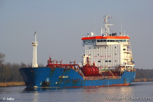
Vessel profile: YARA J is a Oil/Chemical Tanker with dimensions m x m.
This page combines live AIS, route history, probable destination signals, nearby traffic, and port activity for practical vessel monitoring.
The current position of vessel YARA J is 34.86539 lat / 35.87215 lng. Updated: 2026-05-21 10:41:07 UTCNearest reference points:
- Near Tartous
- Near Tripoli
- Near Al Ladhiqiyah
Currently sailing under the flag of Comoros ![]()
Details:
Live Vessel YARA J Analytics (details, animations, etc.)
Recent AIS points (UTC):
2026-05-21 07:20:04 UTC · 34.86531, 35.87221 · SOG 0.3 kn · COG 223°2026-05-21 08:14:02 UTC · 34.86530, 35.87224 · SOG 0.6 kn · COG 226°
2026-05-21 09:50:08 UTC · 34.86533, 35.87225 · SOG 0.1 kn · COG 224°
2026-05-21 10:41:07 UTC · 34.86539, 35.87215 · SOG 0 kn · COG 219°