 NAVIGATOR
Current Status
Where is the vessel?
NAVIGATOR is currently in 288 nm SW of Girassol Terminal, based on AIS data received about 14h ago.
Latest AIS update:
Current position: 10.23088° S, 7.59661° E (288 nm SW of Girassol Terminal)
Average speed (last 7 days): Loading…
Average speed (last 30 days): Loading…
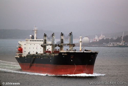
Vessel profile: NAVIGATOR is a Bulk Carrier with dimensions m x m.
This page combines live AIS, route history, probable destination signals, nearby traffic, and port activity for practical vessel monitoring.
The current position of vessel NAVIGATOR is -10.23088 lat / 7.59661 lng. Updated: 2026-05-22 02:08:00 UTCNearest reference points:
- Open sea, approx. 401 nm off the nearest listed port
- Open sea, approx. 400 nm off the nearest listed port
- Open sea, approx. 402 nm off the nearest listed port
Currently sailing under the flag of Palau ![]()
Details:
Live Vessel NAVIGATOR Analytics (details, animations, etc.)
Recent AIS points (UTC):
2026-05-21 21:51:35 UTC · -11.03912, 7.89934 · SOG 11.9 kn · COG 340°2026-05-21 22:04:52 UTC · -10.99734, 7.88390 · SOG 11.9 kn · COG 340°
2026-05-22 01:26:11 UTC · -10.36219, 7.64548 · SOG 12 kn · COG 340°
2026-05-22 02:08:00 UTC · -10.23088, 7.59661 · SOG 12 kn · COG 340°