 GSL TEGEA
Current Status
Where is the vessel?
GSL TEGEA is currently in 162 nm N of ISLA MUJERES, based on AIS data received about 14h ago.
Latest AIS update:
Current position: 23.86831° N, 87.49413° W (162 nm N of ISLA MUJERES)
Average speed (last 7 days): Loading…
Average speed (last 30 days): Loading…
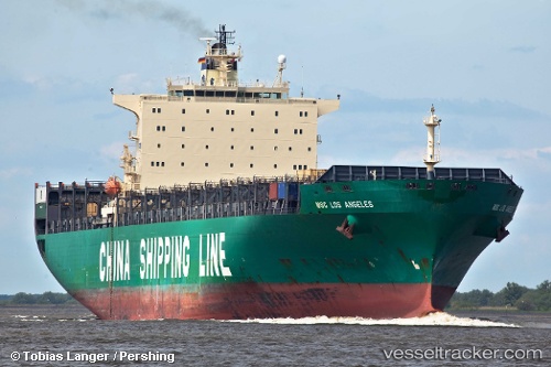
Vessel profile: GSL TEGEA is a Container Ship with dimensions m x m.
This page combines live AIS, route history, probable destination signals, nearby traffic, and port activity for practical vessel monitoring.
The current position of vessel GSL TEGEA is 23.86831 lat / -87.49413 lng. Updated: 2026-05-19 06:19:57 UTCNearest reference points:
- 19 nm N of Progreso
Currently sailing under the flag of Liberia ![]()
Details:
Live Vessel GSL TEGEA Analytics (details, animations, etc.)
Recent AIS points (UTC):
2026-05-19 00:41:24 UTC · 23.93150, -88.71978 · SOG 12 kn · COG 96°2026-05-19 04:20:29 UTC · 23.88813, -87.92607 · SOG 12.1 kn · COG 95°
2026-05-19 04:32:14 UTC · 23.88582, -87.88583 · SOG 12 kn · COG -1°
2026-05-19 06:19:57 UTC · 23.86831, -87.49413 · SOG 11.5 kn · COG -1°