 MAYAR
MAYAR
Current Status
Where is the vessel?
MAYAR is currently in Near Annaba, based on AIS data received about 14h ago.
Latest AIS update:
Current position: 36.88915° N, 7.80402° E (Near Annaba)
Average speed (last 7 days): Loading…
Average speed (last 30 days): Loading…
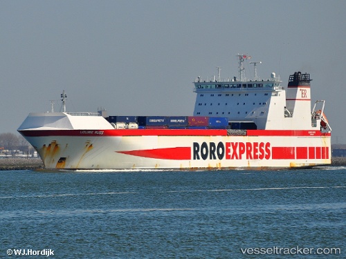
Vessel profile: MAYAR is a Ro-Ro Cargo with dimensions m x m.
This page combines live AIS, route history, probable destination signals, nearby traffic, and port activity for practical vessel monitoring.
The current position of vessel MAYAR is 36.88915 lat / 7.80402 lng. Updated: 2026-05-21 09:49:51 UTCNearest reference points:
- Near Annaba
- Near Skikid
- 35 nm S of Setubal
Currently sailing under the flag of Portugal ![]()
Details:
Live Vessel MAYAR Analytics (details, animations, etc.)
Recent AIS points (UTC):
2026-05-21 05:54:22 UTC · 36.89470, 7.76130 · SOG 0.1 kn · COG 89°2026-05-21 07:10:35 UTC · 36.89471, 7.76131 · SOG 0.1 kn · COG 89°
2026-05-21 07:49:40 UTC · 36.89472, 7.76133 · SOG 0 kn · COG 89°
2026-05-21 09:49:51 UTC · 36.88915, 7.80402 · SOG 15.1 kn · COG 96°