 SUNNY PHOENIX
Current Status
Where is the vessel?
SUNNY PHOENIX is currently in 42 nm E of Tuxpan, based on AIS data received about 14h ago.
Latest AIS update:
Current position: 20.92377° N, 96.66336° W (42 nm E of Tuxpan)
Average speed (last 7 days): Loading…
Average speed (last 30 days): Loading…
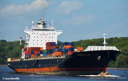
Vessel profile: SUNNY PHOENIX is a Container Ship with dimensions m x m.
This page combines live AIS, route history, probable destination signals, nearby traffic, and port activity for practical vessel monitoring.
The current position of vessel SUNNY PHOENIX is 20.92377 lat / -96.66336 lng. Updated: 2026-05-21 14:13:03 UTCNearest reference points:
- 25 nm E of Tuxpan
- Near Veracruz
Currently sailing under the flag of Bahamas ![]()
Details:
Live Vessel SUNNY PHOENIX Analytics (details, animations, etc.)
Recent AIS points (UTC):
2026-05-21 11:47:02 UTC · 20.38328, -96.43070 · SOG 14.4 kn · COG 339°2026-05-21 12:27:38 UTC · 20.53461, -96.49650 · SOG 14.4 kn · COG 338°
2026-05-21 13:32:59 UTC · 20.77450, -96.59845 · SOG 14.1 kn · COG -1°
2026-05-21 14:13:03 UTC · 20.92377, -96.66336 · SOG 14.1 kn · COG -1°