 CAPE LINA
Current Status
Where is the vessel?
CAPE LINA is currently in 15 nm NE of Viinistu Sadam, based on AIS data received about 14h ago.
Latest AIS update:
Current position: 59.86977° N, 25.99247° E (15 nm NE of Viinistu Sadam)
Average speed (last 7 days): Loading…
Average speed (last 30 days): Loading…
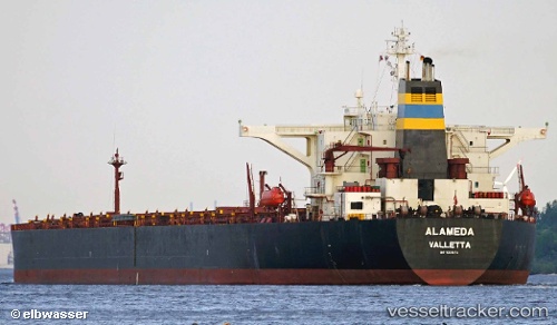
Vessel profile: CAPE LINA is a Bulk Carrier with dimensions m x m.
This page combines live AIS, route history, probable destination signals, nearby traffic, and port activity for practical vessel monitoring.
The current position of vessel CAPE LINA is 59.86977 lat / 25.99247 lng. Updated: 2026-05-21 16:24:08 UTCNearest reference points:
- 13 nm N of Viinistu Sadam
- Near Vessölandet
- Near Vuosaari (Nordsjö)
Currently sailing under the flag of Liberia ![]()
Details:
Live Vessel CAPE LINA Analytics (details, animations, etc.)
Recent AIS points (UTC):
2026-05-21 13:06:15 UTC · 59.86970, 25.99466 · SOG 0 kn · COG 203°2026-05-21 13:51:08 UTC · 59.86995, 25.99426 · SOG 0 kn · COG 199°
2026-05-21 16:15:08 UTC · 59.86986, 25.99265 · SOG 0 kn · COG 179°
2026-05-21 16:24:08 UTC · 59.86977, 25.99247 · SOG 0 kn · COG 178°