 ALOR 2
Current Status
Where is the vessel?
ALOR 2 is currently in 22 nm NE of Dumyat (Damietta), based on AIS data received about 14h ago.
Latest AIS update:
Current position: 31.61437° N, 32.17063° E (22 nm NE of Dumyat (Damietta))
Average speed (last 7 days): Loading…
Average speed (last 30 days): Loading…
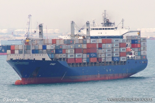
Vessel profile: ALOR 2 is a Container Ship with dimensions m x m.
This page combines live AIS, route history, probable destination signals, nearby traffic, and port activity for practical vessel monitoring.
The current position of vessel ALOR 2 is 31.61437 lat / 32.17063 lng. Updated: 2026-05-21 00:57:25 UTCNearest reference points:
- 21 nm N of Port Said
- 15 nm N of Port Said
- 16 nm N of Port Said
Currently sailing under the flag of Iran ![]()
Details:
Live Vessel ALOR 2 Analytics (details, animations, etc.)
Recent AIS points (UTC):
2026-05-20 21:45:25 UTC · 31.61418, 32.17061 · SOG 0.2 kn · COG 229°2026-05-20 22:00:24 UTC · 31.61411, 32.17059 · SOG 0.1 kn · COG 186°
2026-05-21 00:15:24 UTC · 31.61445, 32.17074 · SOG 0 kn · COG 290°
2026-05-21 00:57:25 UTC · 31.61437, 32.17063 · SOG 0.2 kn · COG 299°