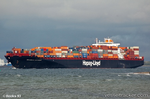
 YANTIAN EXPRESS
Current Status
Where is the vessel?
YANTIAN EXPRESS is currently in Near Sewell's Point, based on AIS data received about 14h ago.
Latest AIS update:
Current position: 36.90922° N, 76.32721° W (Near Sewell's Point)
Average speed (last 7 days): Loading…
Average speed (last 30 days): Loading…
Vessel profile: YANTIAN EXPRESS is a Container Ship with dimensions m x m.
This page combines live AIS, route history, probable destination signals, nearby traffic, and port activity for practical vessel monitoring.
The current position of vessel YANTIAN EXPRESS is 36.90922 lat / -76.32721 lng. Updated: 2026-05-22 03:49:53 UTCNearest reference points:
- Near Sewell's Point
- Near Norfolk
- Near Hampton Roads Pt
Currently sailing under the flag of Liberia ![]()
Details:
Live Vessel YANTIAN EXPRESS Analytics (details, animations, etc.)
Recent AIS points (UTC):
2026-05-21 22:05:16 UTC · 36.91000, -76.32667 · SOG 0 kn · COG -1°2026-05-22 02:10:52 UTC · 36.90922, -76.32721 · SOG 0 kn · COG 352°
2026-05-22 02:12:00 UTC · 36.91000, -76.32667 · SOG 0 kn · COG -1°
2026-05-22 03:49:53 UTC · 36.90922, -76.32721 · SOG 0 kn · COG 352°