 MARINERA
Current Status
Where is the vessel?
MARINERA is currently in 24 nm SE of Sheppard, based on AIS data received about 14h ago.
Latest AIS update:
Current position: 28.95798° N, 94.55435° W (24 nm SE of Sheppard)
Average speed (last 7 days): Loading…
Average speed (last 30 days): Loading…
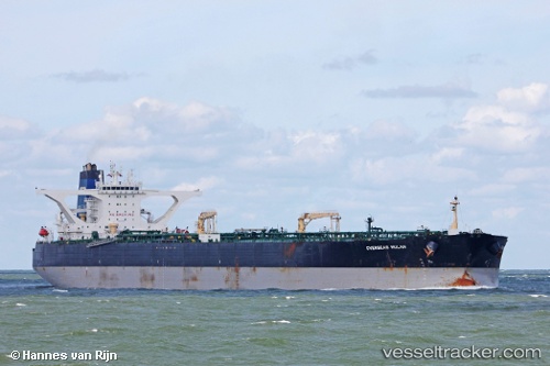
Vessel profile: MARINERA is a Crude Oil Tanker with dimensions m x m.
This page combines live AIS, route history, probable destination signals, nearby traffic, and port activity for practical vessel monitoring.
The current position of vessel MARINERA is 28.95798 lat / -94.55435 lng. Updated: 2026-05-21 02:21:45 UTCNearest reference points:
- 39 nm S of Sheppard
- 12 nm SE of Port Bolivar
- 43 nm SE of Sheppard
Currently sailing under the flag of Russia ![]()
Details:
Live Vessel MARINERA Analytics (details, animations, etc.)
Recent AIS points (UTC):
2026-05-20 21:36:41 UTC · 28.95843, -94.55422 · SOG 0.4 kn · COG 92°2026-05-20 22:39:44 UTC · 28.95845, -94.55416 · SOG 0.1 kn · COG 90°
2026-05-21 02:18:43 UTC · 28.95793, -94.55437 · SOG 0 kn · COG 72°
2026-05-21 02:21:45 UTC · 28.95798, -94.55435 · SOG 0 kn · COG 73°