 XANTHOS EOS
Current Status
Where is the vessel?
XANTHOS EOS is currently in 12 nm S of Aruba, based on AIS data received about 14h ago.
Latest AIS update:
Current position: 12.22317° N, 69.89710° W (12 nm S of Aruba)
Average speed (last 7 days): Loading…
Average speed (last 30 days): Loading…
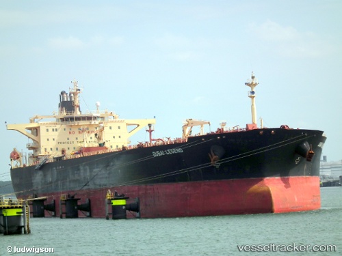
Vessel profile: XANTHOS EOS is a Crude Oil Tanker with dimensions m x m.
This page combines live AIS, route history, probable destination signals, nearby traffic, and port activity for practical vessel monitoring.
The current position of vessel XANTHOS EOS is 12.22317 lat / -69.89710 lng. Updated: 2026-05-23 06:22:24 UTCNearest reference points:
- Near Las Piedras
- 24 nm NW of Palm Beach
- Near Bullenbaai
Currently sailing under the flag of Curacao ![]()
Details:
Live Vessel XANTHOS EOS Analytics (details, animations, etc.)
Recent AIS points (UTC):
2026-05-23 02:49:56 UTC · 12.19835, -70.21006 · SOG 7.4 kn · COG 55°2026-05-23 03:25:05 UTC · 12.24278, -70.15421 · SOG 6.7 kn · COG 59°
2026-05-23 04:19:15 UTC · 12.29007, -70.07890 · SOG 5.2 kn · COG 112°
2026-05-23 06:22:24 UTC · 12.22317, -69.89710 · SOG 5.8 kn · COG 112°