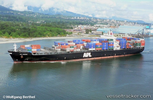
 GSL MARIA
Current Status
Where is the vessel?
GSL MARIA is currently in 39 nm N of Ile D’Ouessant, based on AIS data received about 14h ago.
Latest AIS update:
Current position: 49.29584° N, 5.25028° W (39 nm N of Ile D’Ouessant)
Average speed (last 7 days): Loading…
Average speed (last 30 days): Loading…
Vessel profile: GSL MARIA is a Container Ship with dimensions 276m x 40m.
This page combines live AIS, route history, probable destination signals, nearby traffic, and port activity for practical vessel monitoring.
The current position of vessel GSL MARIA is 49.29584 lat / -5.25028 lng. Updated: 2026-05-21 10:05:28 UTCNearest reference points:
- 34 nm W of Verzy
- 18 nm NE of Ile D’Ouessant
- 28 nm S of Porthgwarra
Currently sailing under the flag of Liberia ![]()
GSL MARIA built in 2001 year
Deadweight:
68025 tDetails:
Live Vessel GSL MARIA Analytics (details, animations, etc.)
Recent AIS points (UTC):
2026-05-21 06:11:28 UTC · 48.91376, -6.45388 · SOG 13.6 kn · COG 74°2026-05-21 07:03:58 UTC · 48.99187, -6.17542 · SOG 13.7 kn · COG 69°
2026-05-21 07:58:59 UTC · 49.07574, -5.88107 · SOG 13.8 kn · COG 68°
2026-05-21 10:05:28 UTC · 49.29584, -5.25028 · SOG 13.1 kn · COG 61°