 Ambermar
Current Status
Where is the vessel?
Ambermar is currently in 16 nm S of Exspan, based on AIS data received about 15h ago.
Latest AIS update:
Current position: 2.06667° S, 105.08500° E (16 nm S of Exspan)
Average speed (last 7 days): Loading…
Average speed (last 30 days): Loading…
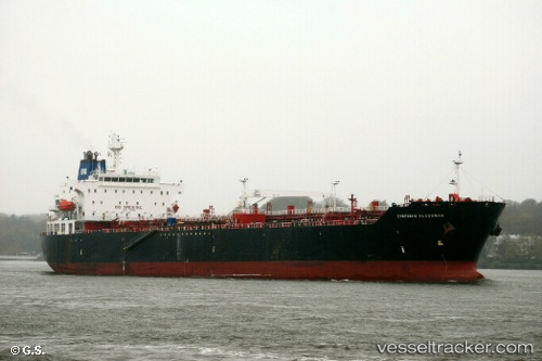
Vessel profile: Ambermar is a Multi Purpose Carrier with dimensions 183m x 183m.
This page combines live AIS, route history, probable destination signals, nearby traffic, and port activity for practical vessel monitoring.
The current position of vessel Ambermar is -2.06667 lat / 105.08500 lng. Updated: 2026-05-22 08:32:13 UTCNearest reference points:
- 36 nm SW of Exspan
- 38 nm SW of PANGKAL BALAM
- Near Kertapati
Currently sailing under the flag of Indonesia ![]()
Ambermar built in 2002 year
Deadweight:
35970 tDetails:
Live Vessel Ambermar Analytics (details, animations, etc.)
Recent AIS points (UTC):
2026-05-22 04:19:53 UTC · -2.06785, 105.08476 · SOG 0 kn · COG 125°2026-05-22 05:25:50 UTC · -2.06777, 105.08476 · SOG 0 kn · COG 127°
2026-05-22 07:41:15 UTC · -2.06667, 105.08500 · SOG 0 kn · COG -1°
2026-05-22 08:32:13 UTC · -2.06667, 105.08500 · SOG 0 kn · COG -1°