 Sea Horizon
Current Status
Where is the vessel?
Sea Horizon is currently in Near TANJUNG PELEPAS, based on AIS data received about 14h ago.
Latest AIS update:
Current position: 1.22649° N, 103.56699° E (Near TANJUNG PELEPAS)
Average speed (last 7 days): Loading…
Average speed (last 30 days): Loading…
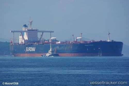
Vessel profile: Sea Horizon is a Crude Oil Tanker with dimensions 333m x 60m.
This page combines live AIS, route history, probable destination signals, nearby traffic, and port activity for practical vessel monitoring.
The current position of vessel Sea Horizon is 1.22649 lat / 103.56699 lng. Updated: 2026-05-21 13:49:37 UTCNearest reference points:
- Near Nipah
- Near Tuas
- Near JURONG ISLAND
Currently sailing under the flag of Marshall Is ![]()
Sea Horizon built in 2001 year
Deadweight:
298412 tDetails:
Live Vessel Sea Horizon Analytics (details, animations, etc.)
Recent AIS points (UTC):
2026-05-21 10:13:32 UTC · 1.22263, 103.57195 · SOG 0 kn · COG 311°2026-05-21 12:13:33 UTC · 1.22612, 103.56701 · SOG 0.1 kn · COG 106°
2026-05-21 13:31:30 UTC · 1.22651, 103.56725 · SOG 0.1 kn · COG 144°
2026-05-21 13:49:37 UTC · 1.22649, 103.56699 · SOG 0 kn · COG 136°