 MARIA FRANCISCA
Current Status
Where is the vessel?
MARIA FRANCISCA is currently in 127 nm SW of Port de Boké, based on AIS data received about 14h ago.
Latest AIS update:
Current position: 9.09816° N, 16.29817° W (127 nm SW of Port de Boké)
Average speed (last 7 days): Loading…
Average speed (last 30 days): Loading…
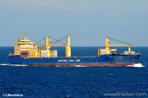
Vessel profile: MARIA FRANCISCA is a General Cargo with dimensions m x m.
This page combines live AIS, route history, probable destination signals, nearby traffic, and port activity for practical vessel monitoring.
The current position of vessel MARIA FRANCISCA is 9.09816 lat / -16.29817 lng. Updated: 2026-05-22 21:29:38 UTCNearest reference points:
- 97 nm SW of Port de Boké
- 79 nm SW of Conakry
- 144 nm SW of Bubaque
Currently sailing under the flag of Portugal ![]()
Details:
Live Vessel MARIA FRANCISCA Analytics (details, animations, etc.)
Recent AIS points (UTC):
2026-05-22 19:00:15 UTC · 8.75167, -15.90333 · SOG 12.7 kn · COG 310°2026-05-22 20:16:15 UTC · 8.92817, -16.10250 · SOG 12.4 kn · COG 312°
2026-05-22 21:29:38 UTC · 9.09816, -16.29817 · SOG 12.7 kn · COG 308°
2026-05-22 21:29:38 UTC · 9.09816, -16.29817 · SOG 12.7 kn · COG 308°