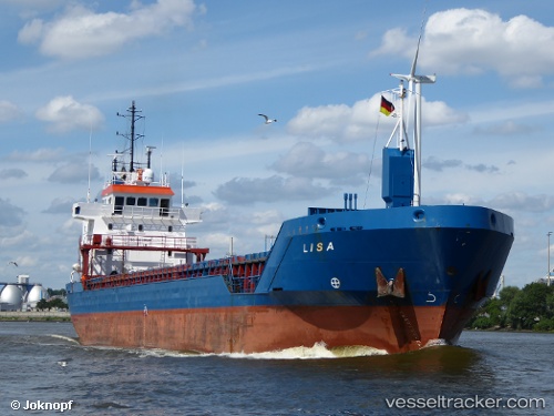
 ELISA
ELISA
Current Status
Where is the vessel?
ELISA is currently in 119 nm NE of Ryuo, based on AIS data received about 15h ago.
Latest AIS update:
Current position: 36.51293° N, 18.84181° E (119 nm NE of Ryuo)
Average speed (last 7 days): Loading…
Average speed (last 30 days): Loading…
Vessel profile: ELISA is a General Cargo with dimensions m x m.
This page combines live AIS, route history, probable destination signals, nearby traffic, and port activity for practical vessel monitoring.
The current position of vessel ELISA is 36.51293 lat / 18.84181 lng. Updated: 2026-05-22 17:29:56 UTCNearest reference points:
- 103 nm NE of Ryuo
- 64 nm NE of Ryuo
- 73 nm N of Pinelands
Currently sailing under the flag of Barbados ![]()
Details:
Live Vessel ELISA Analytics (details, animations, etc.)
Recent AIS points (UTC):
2026-05-22 11:46:00 UTC · 36.80937, 17.85834 · SOG 9.3 kn · COG 141°2026-05-22 15:44:06 UTC · 36.59680, 18.52273 · SOG 9.1 kn · COG 111°
2026-05-22 16:40:58 UTC · 36.55060, 18.69298 · SOG 9.2 kn · COG 107°
2026-05-22 17:29:56 UTC · 36.51293, 18.84181 · SOG 9.2 kn · COG 109°