 BLUE
BLUE
Current Status
Where is the vessel?
BLUE is currently in Near Myskhako, based on AIS data received about 14h ago.
Latest AIS update:
Current position: 44.62526° N, 37.80785° E (Near Myskhako)
Average speed (last 7 days): Loading…
Average speed (last 30 days): Loading…
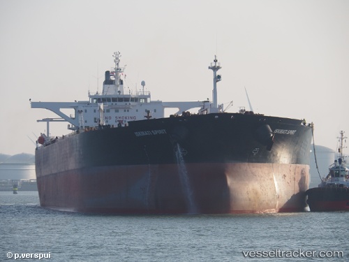
Vessel profile: BLUE is a Crude Oil Tanker with dimensions m x m.
This page combines live AIS, route history, probable destination signals, nearby traffic, and port activity for practical vessel monitoring.
The current position of vessel BLUE is 44.62526 lat / 37.80785 lng. Updated: 2026-05-19 19:06:47 UTCNearest reference points:
- Near Novorossiysk
- Near GELENDZHIK
- Near Cpc Terminal
Currently sailing under the flag of Cameroon ![]()
Details:
Live Vessel BLUE Analytics (details, animations, etc.)
Recent AIS points (UTC):
2026-05-19 14:36:38 UTC · 44.72624, 37.77522 · SOG 7.6 kn · COG 200°2026-05-19 16:42:43 UTC · 44.26252, 37.84799 · SOG 9.2 kn · COG 200°
2026-05-19 17:18:32 UTC · 44.26248, 37.84379 · SOG 8.1 kn · COG 200°
2026-05-19 19:06:47 UTC · 44.62526, 37.80785 · SOG 8.3 kn · COG 200°