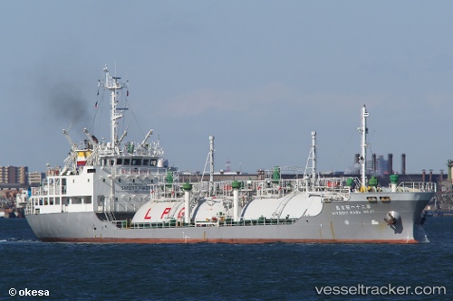
 GAS BERAU
Current Status
Where is the vessel?
GAS BERAU is currently in Near KABIL, based on AIS data received about 15h ago.
Latest AIS update:
Current position: 1.09487° N, 104.18071° E (Near KABIL)
Average speed (last 7 days): Loading…
Average speed (last 30 days): Loading…
Vessel profile: GAS BERAU is a Lpg Tanker with dimensions m x m.
This page combines live AIS, route history, probable destination signals, nearby traffic, and port activity for practical vessel monitoring.
The current position of vessel GAS BERAU is 1.09487 lat / 104.18071 lng. Updated: 2026-06-02 01:26:55 UTCNearest reference points:
- Near KABIL
- Near Lobam
- Near BATU AMPAR
Currently sailing under the flag of Indonesia ![]()
Details:
Live Vessel GAS BERAU Analytics (details, animations, etc.)
Recent AIS points (UTC):
2026-06-01 21:35:22 UTC · 1.09500, 104.18167 · SOG 0 kn · COG -1°2026-06-02 00:01:29 UTC · 1.09515, 104.18111 · SOG 0 kn · COG -1°
2026-06-02 01:26:55 UTC · 1.09487, 104.18071 · SOG 0 kn · COG 123°
2026-06-02 01:26:55 UTC · 1.09487, 104.18071 · SOG 0 kn · COG 123°