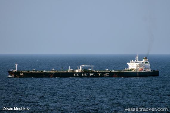
 PRINCESS SOFIA
Current Status
Where is the vessel?
PRINCESS SOFIA is currently in 11 nm S of Basrah Oil Terminal, based on AIS data received about 14h ago.
Latest AIS update:
Current position: 29.57833° N, 48.78167° E (11 nm S of Basrah Oil Terminal)
Average speed (last 7 days): Loading…
Average speed (last 30 days): Loading…
Vessel profile: PRINCESS SOFIA is a Crude Oil Tanker with dimensions m x m.
This page combines live AIS, route history, probable destination signals, nearby traffic, and port activity for practical vessel monitoring.
The current position of vessel PRINCESS SOFIA is 29.57833 lat / 48.78167 lng. Updated: 2026-05-22 04:32:49 UTCNearest reference points:
- 11 nm SW of Basrah Oil Terminal
- 15 nm S of Imam Khomeini Pt/ Mahshahr City
- 25 nm W of Soroosh (Cyrus) Terminal
Currently sailing under the flag of San Marino ![]()
Details:
Live Vessel PRINCESS SOFIA Analytics (details, animations, etc.)
Recent AIS points (UTC):
2026-05-22 01:47:11 UTC · 29.57985, 48.78182 · SOG 0 kn · COG 340°2026-05-22 02:20:12 UTC · 29.57991, 48.78185 · SOG 0 kn · COG 337°
2026-05-22 03:36:50 UTC · 29.57994, 48.78187 · SOG 0 kn · COG 340°
2026-05-22 04:32:49 UTC · 29.57833, 48.78167 · SOG 0 kn · COG -1°