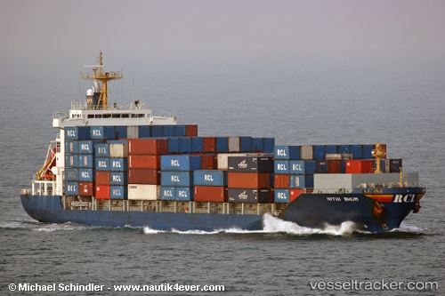
 HARBOUR ICONIC
Current Status
Where is the vessel?
HARBOUR ICONIC is currently in 56 nm W of BINTULU, based on AIS data received about 15h ago.
Latest AIS update:
Current position: 3.42333° N, 112.12333° E (56 nm W of BINTULU)
Average speed (last 7 days): Loading…
Average speed (last 30 days): Loading…
Vessel profile: HARBOUR ICONIC is a Container Ship with dimensions m x m.
This page combines live AIS, route history, probable destination signals, nearby traffic, and port activity for practical vessel monitoring.
The current position of vessel HARBOUR ICONIC is 3.42333 lat / 112.12333 lng. Updated: 2026-05-20 03:33:13 UTCNearest reference points:
- 42 nm W of BINTULU
- 28 nm SW of BINTULU
- Near BINTULU
Currently sailing under the flag of Malaysia ![]()
Details:
Live Vessel HARBOUR ICONIC Analytics (details, animations, etc.)
Recent AIS points (UTC):
2026-05-19 23:56:38 UTC · 3.18833, 111.31167 · SOG 14 kn · COG -1°2026-05-20 01:56:01 UTC · 3.27077, 111.77585 · SOG 14.1 kn · COG -1°
2026-05-20 02:17:09 UTC · 3.28928, 111.85660 · SOG 14 kn · COG -1°
2026-05-20 03:33:13 UTC · 3.42333, 112.12333 · SOG 14 kn · COG -1°