 MT.SAMUGARA99
Current Status
Where is the vessel?
MT.SAMUGARA99 is currently in 65 nm NW of Angar, based on AIS data received about 15h ago.
Latest AIS update:
Current position: 2.82557° S, 130.12959° E (65 nm NW of Angar)
Average speed (last 7 days): Loading…
Average speed (last 30 days): Loading…
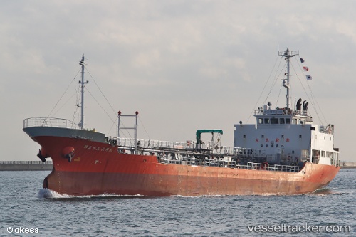
Vessel profile: MT.SAMUGARA99 is a Oil Products Tanker with dimensions m x m.
This page combines live AIS, route history, probable destination signals, nearby traffic, and port activity for practical vessel monitoring.
The current position of vessel MT.SAMUGARA99 is -2.82557 lat / 130.12959 lng. Updated: 2026-05-22 03:17:43 UTCNearest reference points:
- 29 nm E of Angar
- Near Ambon
- Near Sorong
Currently sailing under the flag of Indonesia ![]()
Details:
Live Vessel MT.SAMUGARA99 Analytics (details, animations, etc.)
Recent AIS points (UTC):
2026-05-21 21:18:54 UTC · -2.71101, 129.39072 · SOG 8 kn · COG -1°2026-05-21 21:18:54 UTC · -2.71101, 129.39072 · SOG 8 kn · COG -1°
2026-05-21 21:18:54 UTC · -2.71101, 129.39072 · SOG 8 kn · COG -1°
2026-05-22 03:17:43 UTC · -2.82557, 130.12959 · SOG 7.2 kn · COG -1°