 NORAYA
Current Status
Where is the vessel?
NORAYA is currently in Near Ghazaouet, based on AIS data received about 14h ago.
Latest AIS update:
Current position: 35.12667° N, 1.87667° W (Near Ghazaouet)
Average speed (last 7 days): Loading…
Average speed (last 30 days): Loading…
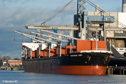
Vessel profile: NORAYA is a Bulk Carrier with dimensions m x m.
This page combines live AIS, route history, probable destination signals, nearby traffic, and port activity for practical vessel monitoring.
The current position of vessel NORAYA is 35.12667 lat / -1.87667 lng. Updated: 2026-05-22 04:26:57 UTCNearest reference points:
- 28 nm N of Melilla
- 37 nm S of Las Noras de Daza
- 27 nm SE of El Alquian
Currently sailing under the flag of Belize ![]()
Details:
Live Vessel NORAYA Analytics (details, animations, etc.)
Recent AIS points (UTC):
2026-05-22 01:18:15 UTC · 35.12942, -1.87922 · SOG 0.1 kn · COG 153°2026-05-22 02:30:09 UTC · 35.12865, -1.87761 · SOG 0.2 kn · COG 226°
2026-05-22 03:59:57 UTC · 35.12667, -1.87667 · SOG 0 kn · COG -1°
2026-05-22 04:26:57 UTC · 35.12667, -1.87667 · SOG 0 kn · COG -1°