 OCEANUS
Current Status
Where is the vessel?
OCEANUS is currently in 13 nm NW of Santa Marta, based on AIS data received about 15h ago.
Latest AIS update:
Current position: 11.34012° N, 74.41217° W (13 nm NW of Santa Marta)
Average speed (last 7 days): Loading…
Average speed (last 30 days): Loading…
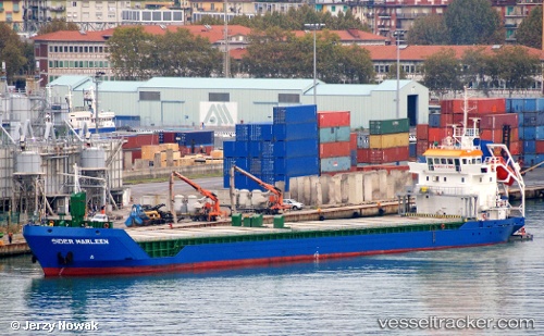
Vessel profile: OCEANUS is a General Cargo with dimensions m x m.
This page combines live AIS, route history, probable destination signals, nearby traffic, and port activity for practical vessel monitoring.
The current position of vessel OCEANUS is 11.34012 lat / -74.41217 lng. Updated: 2026-05-21 14:02:20 UTCNearest reference points:
- Near Santa Marta
- 18 nm N of Santa Marta
- Near Contecar
Currently sailing under the flag of Portugal ![]()
Details:
Live Vessel OCEANUS Analytics (details, animations, etc.)
Recent AIS points (UTC):
2026-05-21 10:43:10 UTC · 11.17724, -74.78468 · SOG 6.3 kn · COG 72°2026-05-21 11:57:40 UTC · 11.23614, -74.64809 · SOG 7.2 kn · COG 65°
2026-05-21 13:38:30 UTC · 11.32096, -74.45516 · SOG 7.3 kn · COG 67°
2026-05-21 14:02:20 UTC · 11.34012, -74.41217 · SOG 7.2 kn · COG 68°