 CAPE MAYA
Current Status
Where is the vessel?
CAPE MAYA is currently in Near ISMAILIA, based on AIS data received about 15h ago.
Latest AIS update:
Current position: 30.49690° N, 32.34965° E (Near ISMAILIA)
Average speed (last 7 days): Loading…
Average speed (last 30 days): Loading…
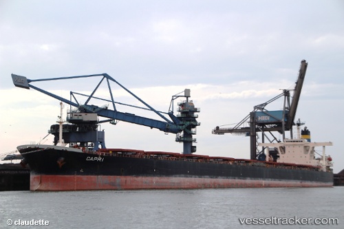
Vessel profile: CAPE MAYA is a Bulk Carrier with dimensions m x m.
This page combines live AIS, route history, probable destination signals, nearby traffic, and port activity for practical vessel monitoring.
The current position of vessel CAPE MAYA is 30.49690 lat / 32.34965 lng. Updated: 2026-05-22 07:59:21 UTCNearest reference points:
- Near SUEZ CANAL
- Near As Suways (Suez)
- Near SUEZ PORT
Currently sailing under the flag of Liberia ![]()
Details:
Live Vessel CAPE MAYA Analytics (details, animations, etc.)
Recent AIS points (UTC):
2026-05-22 04:13:42 UTC · 29.99689, 32.58379 · SOG 9.6 kn · COG 349°2026-05-22 06:20:12 UTC · 30.26922, 32.48253 · SOG 10.1 kn · COG 288°
2026-05-22 07:24:31 UTC · 30.41724, 32.36231 · SOG 9.8 kn · COG 349°
2026-05-22 07:59:21 UTC · 30.49690, 32.34965 · SOG 8.1 kn · COG 349°