 IRON WAVE
Current Status
Where is the vessel?
IRON WAVE is currently in 70 nm SE of Zona Franca da Madeira, based on AIS data received about 14h ago.
Latest AIS update:
Current position: 31.62285° N, 16.13056° W (70 nm SE of Zona Franca da Madeira)
Average speed (last 7 days): Loading…
Average speed (last 30 days): Loading…
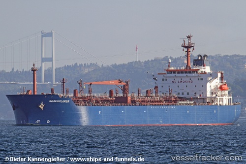
Vessel profile: IRON WAVE is a Oil/Chemical Tanker with dimensions m x m.
This page combines live AIS, route history, probable destination signals, nearby traffic, and port activity for practical vessel monitoring.
The current position of vessel IRON WAVE is 31.62285 lat / -16.13056 lng. Updated: 2026-05-21 22:08:36 UTCNearest reference points:
- 121 nm N of Bañaderos
- 120 nm N of Bañaderos
- 109 nm E of Porto Santo Island
Currently sailing under the flag of Cameroon ![]()
Details:
Live Vessel IRON WAVE Analytics (details, animations, etc.)
Recent AIS points (UTC):
2026-05-21 17:40:27 UTC · 32.12667, -15.31167 · SOG 11 kn · COG -1°2026-05-21 19:43:24 UTC · 31.88667, -15.68167 · SOG 11 kn · COG -1°
2026-05-21 19:43:24 UTC · 31.88667, -15.68167 · SOG 11 kn · COG -1°
2026-05-21 22:08:36 UTC · 31.62285, -16.13056 · SOG 11.4 kn · COG 235°