 vesseltracker.com
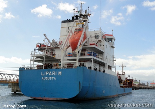
 PRAIRIE TULIP
Current Status
Where is the vessel?
PRAIRIE TULIP is currently in Near Contecar, based on AIS data received about 14h ago.
Latest AIS update:
Current position: 10.35938° N, 75.51041° W (Near Contecar)
Average speed (last 7 days): Loading…
Average speed (last 30 days): Loading…
Vessel profile: PRAIRIE TULIP is a Oil/Chemical Tanker with dimensions m x m.
This page combines live AIS, route history, probable destination signals, nearby traffic, and port activity for practical vessel monitoring.
The current position of vessel PRAIRIE TULIP is 10.35938 lat / -75.51041 lng. Updated: 2026-05-18 13:46:25 UTCNearest reference points:
- Near Contecar
- Near Sociedad Portuaria Regional Cartagena
- Near Santa Marta
Currently sailing under the flag of Portugal ![]()
Details:
Live Vessel PRAIRIE TULIP Analytics (details, animations, etc.)
Recent AIS points (UTC):
2026-05-18 11:07:23 UTC · 10.35937, -75.51039 · SOG 0 kn · COG 216°2026-05-18 11:58:23 UTC · 10.35938, -75.51040 · SOG 0 kn · COG 216°
2026-05-18 13:22:24 UTC · 10.35938, -75.51040 · SOG 0 kn · COG 217°
2026-05-18 13:46:25 UTC · 10.35938, -75.51041 · SOG 0 kn · COG 217°