 EKOUO
EKOUO
Current Status
Where is the vessel?
EKOUO is currently in 14 nm S of Abu Musa, based on AIS data received about 14h ago.
Latest AIS update:
Current position: 25.63998° N, 55.07147° E (14 nm S of Abu Musa)
Average speed (last 7 days): Loading…
Average speed (last 30 days): Loading…
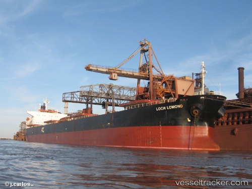
Vessel profile: EKOUO is a Bulk Carrier with dimensions m x m.
This page combines live AIS, route history, probable destination signals, nearby traffic, and port activity for practical vessel monitoring.
The current position of vessel EKOUO is 25.63998 lat / 55.07147 lng. Updated: 2026-05-20 17:03:32 UTCNearest reference points:
- 17 nm NW of Free Port
- Near Sharjah
- Near Free Port
Currently sailing under the flag of Panama ![]()
Details:
Live Vessel EKOUO Analytics (details, animations, etc.)
Recent AIS points (UTC):
2026-05-20 13:54:23 UTC · 25.63984, 55.07158 · SOG 0 kn · COG 299°2026-05-20 14:14:04 UTC · 25.63998, 55.07168 · SOG 0 kn · COG 300°
2026-05-20 15:20:45 UTC · 25.63958, 55.07148 · SOG 0 kn · COG 300°
2026-05-20 17:03:32 UTC · 25.63998, 55.07147 · SOG 0.1 kn · COG 299°