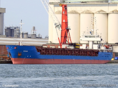
 Marie
Marie
Current Status
Where is the vessel?
Marie is currently in Near Hoevenen, based on AIS data received about 14h ago.
Latest AIS update:
Current position: 51.28199° N, 4.37298° E (Near Hoevenen)
Average speed (last 7 days): Loading…
Average speed (last 30 days): Loading…
Vessel profile: Marie is a General Cargo Ship with dimensions 89m x 12m.
This page combines live AIS, route history, probable destination signals, nearby traffic, and port activity for practical vessel monitoring.
The current position of vessel Marie is 51.28199 lat / 4.37298 lng. Updated: 2026-05-19 19:31:32 UTCNearest reference points:
- Near Antwerp
- Near Kallo
- Near Kruibeke
Currently sailing under the flag of Belgium ![]()
Marie built in 2002 year
Deadweight:
2974 tDetails:
Live Vessel Marie Analytics (details, animations, etc.)
Recent AIS points (UTC):
2026-05-19 16:21:11 UTC · 51.28197, 4.37303 · SOG 0 kn · COG 271°2026-05-19 17:21:27 UTC · 51.28195, 4.37300 · SOG 0 kn · COG 271°
2026-05-19 19:27:06 UTC · 51.28199, 4.37297 · SOG 0 kn · COG 271°
2026-05-19 19:31:32 UTC · 51.28199, 4.37298 · SOG 0 kn · COG -1°