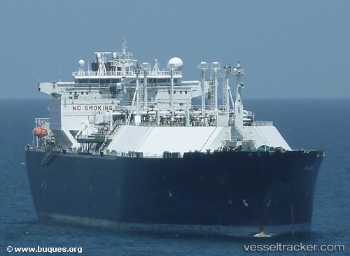
 SC SERENITY
Current Status
Where is the vessel?
SC SERENITY is currently in 79 nm E of KIJANG, based on AIS data received about 16h ago.
Latest AIS update:
Current position: 0.71261° N, 105.92663° E (79 nm E of KIJANG)
Average speed (last 7 days): Loading…
Average speed (last 30 days): Loading…
Vessel profile: SC SERENITY is a Lng Tanker with dimensions m x m.
This page combines live AIS, route history, probable destination signals, nearby traffic, and port activity for practical vessel monitoring.
The current position of vessel SC SERENITY is 0.71261 lat / 105.92663 lng. Updated: 2026-05-21 22:45:04 UTCNearest reference points:
- 76 nm NE of KIJANG
- 47 nm NE of PENGERANG
- 38 nm E of PENGERANG
Currently sailing under the flag of Indonesia ![]()
Details:
Live Vessel SC SERENITY Analytics (details, animations, etc.)
Recent AIS points (UTC):
2026-05-21 12:48:17 UTC · -1.29574, 107.77655 · SOG 16 kn · COG -1°2026-05-21 12:48:17 UTC · -1.29574, 107.77655 · SOG 16 kn · COG -1°
2026-05-21 12:48:17 UTC · -1.29574, 107.77655 · SOG 16 kn · COG -1°
2026-05-21 22:45:04 UTC · 0.71261, 105.92663 · SOG 16.9 kn · COG 314°