 vesseltracker.com
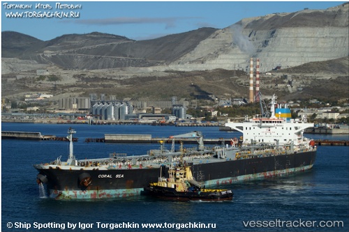
 MATARI
Current Status
Where is the vessel?
MATARI is currently in 22 nm S of Kallviken, based on AIS data received about 15h ago.
Latest AIS update:
Current position: 60.01918° N, 26.68526° E (22 nm S of Kallviken)
Average speed (last 7 days): Loading…
Average speed (last 30 days): Loading…
Vessel profile: MATARI is a Crude Oil Tanker with dimensions m x m.
This page combines live AIS, route history, probable destination signals, nearby traffic, and port activity for practical vessel monitoring.
The current position of vessel MATARI is 60.01918 lat / 26.68526 lng. Updated: 2026-05-18 13:33:36 UTCNearest reference points:
- Near Lakulahti
- 27 nm S of Klamila
- 13 nm N of Viinistu Sadam
Currently sailing under the flag of Sierra Leone ![]()
Details:
Live Vessel MATARI Analytics (details, animations, etc.)
Recent AIS points (UTC):
2026-05-18 10:32:56 UTC · 60.19333, 27.72679 · SOG 10.8 kn · COG 242°2026-05-18 12:09:17 UTC · 60.03161, 27.19350 · SOG 11.7 kn · COG 239°
2026-05-18 13:13:18 UTC · 60.00830, 26.81314 · SOG 11.4 kn · COG 279°
2026-05-18 13:33:36 UTC · 60.01918, 26.68526 · SOG 11.5 kn · COG 278°