 ANDINO ALPHA
Current Status
Where is the vessel?
ANDINO ALPHA is currently in 117 nm SE of Arembepe, based on AIS data received about 15h ago.
Latest AIS update:
Current position: 13.57962° S, 36.35277° W (117 nm SE of Arembepe)
Average speed (last 7 days): Loading…
Average speed (last 30 days): Loading…
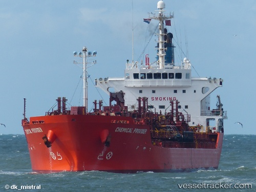
Vessel profile: ANDINO ALPHA is a Oil/Chemical Tanker with dimensions m x m.
This page combines live AIS, route history, probable destination signals, nearby traffic, and port activity for practical vessel monitoring.
The current position of vessel ANDINO ALPHA is -13.57962 lat / -36.35277 lng. Updated: 2026-05-22 03:53:12 UTCDetails:
Live Vessel ANDINO ALPHA Analytics (details, animations, etc.)
Recent AIS points (UTC):
2026-05-22 01:06:42 UTC · -14.14135, -36.53532 · SOG 12.6 kn · COG 21°2026-05-22 02:19:09 UTC · -13.90119, -36.45088 · SOG 12.7 kn · COG 18°
2026-05-22 03:42:01 UTC · -13.61820, -36.36403 · SOG 12.8 kn · COG 19°
2026-05-22 03:53:12 UTC · -13.57962, -36.35277 · SOG 12.8 kn · COG 22°