 BELUGA A
Current Status
Where is the vessel?
BELUGA A is currently in Near Bur Safaga, based on AIS data received about 14h ago.
Latest AIS update:
Current position: 26.69785° N, 33.94093° E (Near Bur Safaga)
Average speed (last 7 days): Loading…
Average speed (last 30 days): Loading…
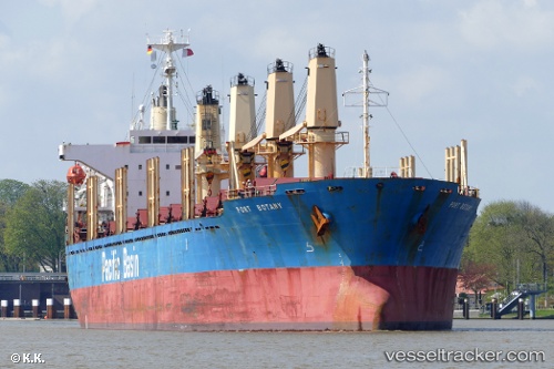
Vessel profile: BELUGA A is a Bulk Carrier with dimensions m x m.
This page combines live AIS, route history, probable destination signals, nearby traffic, and port activity for practical vessel monitoring.
The current position of vessel BELUGA A is 26.69785 lat / 33.94093 lng. Updated: 2026-05-20 23:48:16 UTCNearest reference points:
- Near Bur Safaga
- Near El-Guna (El Gouna)
- 19 nm SE of Zeit Bay
Currently sailing under the flag of Saint Kitts and Nevis ![]()
Details:
Live Vessel BELUGA A Analytics (details, animations, etc.)
Recent AIS points (UTC):
2026-05-20 21:51:19 UTC · 26.69790, 33.94093 · SOG 0 kn · COG 4°2026-05-20 22:12:17 UTC · 26.69790, 33.94096 · SOG 0 kn · COG 3°
2026-05-20 23:48:16 UTC · 26.69785, 33.94093 · SOG 0 kn · COG 3°
2026-05-20 23:48:16 UTC · 26.69785, 33.94093 · SOG 0 kn · COG 3°