 SYNERGY STAR
Current Status
Where is the vessel?
SYNERGY STAR is currently in 15 nm W of SUNGAI UDANG, based on AIS data received about 14h ago.
Latest AIS update:
Current position: 2.21167° N, 101.87642° E (15 nm W of SUNGAI UDANG)
Average speed (last 7 days): Loading…
Average speed (last 30 days): Loading…
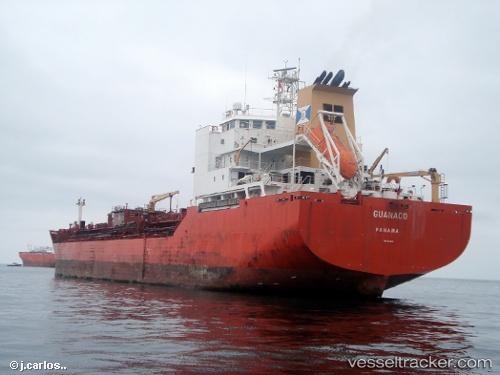
Vessel profile: SYNERGY STAR is a Oil/Chemical Tanker with dimensions m x m.
This page combines live AIS, route history, probable destination signals, nearby traffic, and port activity for practical vessel monitoring.
The current position of vessel SYNERGY STAR is 2.21167 lat / 101.87642 lng. Updated: 2026-05-18 18:13:26 UTCNearest reference points:
- 14 nm W of SUNGAI UDANG
- Near SUNGAI UDANG
- Near Malacca
Currently sailing under the flag of Marshall Islands ![]()
Details:
Live Vessel SYNERGY STAR Analytics (details, animations, etc.)
Recent AIS points (UTC):
2026-05-18 14:16:41 UTC · 2.61667, 101.33667 · SOG 10 kn · COG -1°2026-05-18 16:15:16 UTC · 2.42168, 101.61404 · SOG 10.3 kn · COG 126°
2026-05-18 16:20:06 UTC · 2.41353, 101.62525 · SOG 10.3 kn · COG 126°
2026-05-18 18:13:26 UTC · 2.21167, 101.87642 · SOG 10.2 kn · COG 126°