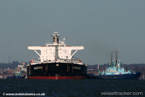
 AKTROS
Current Status
Where is the vessel?
AKTROS is currently in Near AL DUQM, based on AIS data received about 14h ago.
Latest AIS update:
Current position: 19.67415° N, 57.71807° E (Near AL DUQM)
Average speed (last 7 days): Loading…
Average speed (last 30 days): Loading…
Vessel profile: AKTROS is a Crude Oil Tanker with dimensions m x m.
This page combines live AIS, route history, probable destination signals, nearby traffic, and port activity for practical vessel monitoring.
The current position of vessel AKTROS is 19.67415 lat / 57.71807 lng. Updated: 2026-05-21 17:33:35 UTCNearest reference points:
- Near AL DUQM
- Near Duqm
- 39 nm SE of Pizhou
Currently sailing under the flag of Sierra Leone ![]()
Details:
Live Vessel AKTROS Analytics (details, animations, etc.)
Recent AIS points (UTC):
2026-05-21 13:45:36 UTC · 19.67418, 57.71463 · SOG 0 kn · COG 131°2026-05-21 15:21:53 UTC · 19.67462, 57.71720 · SOG 0 kn · COG -1°
2026-05-21 15:45:35 UTC · 19.67447, 57.71743 · SOG 0.1 kn · COG 200°
2026-05-21 17:33:35 UTC · 19.67415, 57.71807 · SOG 0 kn · COG 219°