 ACHERON
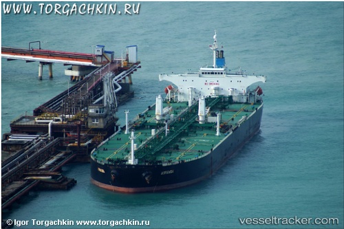
Current Status
Where is the vessel?
ACHERON is currently in 32 nm W of Torsminde, based on AIS data received about 15h ago.
Latest AIS update:
Current position: 56.47978° N, 7.16582° E (32 nm W of Torsminde)
Average speed (last 7 days): Loading…
Average speed (last 30 days): Loading…
Vessel profile: ACHERON is a Crude Oil Tanker with dimensions m x m.
This page combines live AIS, route history, probable destination signals, nearby traffic, and port activity for practical vessel monitoring.
The current position of vessel ACHERON is 56.47978 lat / 7.16582 lng. Updated: 2026-05-19 08:04:44 UTCNearest reference points:
- 36 nm W of HVIDE SANDE
- Near Thyborøn
- Near Blavand
Currently sailing under the flag of Barbados ![]()
Details:
Live Vessel ACHERON Analytics (details, animations, etc.)
Recent AIS points (UTC):
2026-05-19 04:08:49 UTC · 56.06278, 6.70557 · SOG 6.8 kn · COG 37°2026-05-19 06:01:48 UTC · 56.24029, 6.90903 · SOG 6.8 kn · COG 37°
2026-05-19 07:55:33 UTC · 56.46602, 7.14810 · SOG 6.8 kn · COG 41°
2026-05-19 08:04:44 UTC · 56.47978, 7.16582 · SOG 6.7 kn · COG 35°