 BENITA
Current Status
Where is the vessel?
BENITA is currently in Near Jeddah, based on AIS data received about 14h ago.
Latest AIS update:
Current position: 21.42123° N, 39.05291° E (Near Jeddah)
Average speed (last 7 days): Loading…
Average speed (last 30 days): Loading…
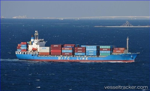
Vessel profile: BENITA is a Container Ship with dimensions m x m.
This page combines live AIS, route history, probable destination signals, nearby traffic, and port activity for practical vessel monitoring.
The current position of vessel BENITA is 21.42123 lat / 39.05291 lng. Updated: 2026-05-19 05:49:55 UTCNearest reference points:
- Near Jeddah
- 10 nm SW of Jeddah
- Near Tusdeer Free Zone
Currently sailing under the flag of Saint Kitts and Nevis ![]()
Details:
Live Vessel BENITA Analytics (details, animations, etc.)
Recent AIS points (UTC):
2026-05-19 01:36:12 UTC · 21.41894, 39.05406 · SOG 0 kn · COG 314°2026-05-19 03:47:49 UTC · 21.42087, 39.05286 · SOG 0 kn · COG 167°
2026-05-19 04:29:57 UTC · 21.42084, 39.05271 · SOG 0 kn · COG 165°
2026-05-19 05:49:55 UTC · 21.42123, 39.05291 · SOG 0 kn · COG 174°