 ROAMA 8
Current Status
Where is the vessel?
ROAMA 8 is currently in 71 nm SE of Morowali, based on AIS data received about 14h ago.
Latest AIS update:
Current position: 2.80894° S, 122.21928° E (71 nm SE of Morowali)
Average speed (last 7 days): Loading…
Average speed (last 30 days): Loading…
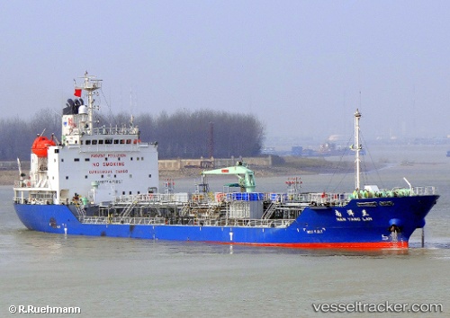
Vessel profile: ROAMA 8 is a Oil/Chemical Tanker with dimensions m x m.
This page combines live AIS, route history, probable destination signals, nearby traffic, and port activity for practical vessel monitoring.
The current position of vessel ROAMA 8 is -2.80894 lat / 122.21928 lng. Updated: 2026-05-20 22:57:10 UTCNearest reference points:
- 45 nm N of KENDARI
- 11 nm NW of KENDARI
- 22 nm S of Tangkiang
Currently sailing under the flag of Panama ![]()
Details:
Live Vessel ROAMA 8 Analytics (details, animations, etc.)
Recent AIS points (UTC):
2026-05-20 18:20:59 UTC · -2.80749, 122.21783 · SOG 0.4 kn · COG 144°2026-05-20 19:04:38 UTC · -2.80667, 122.21833 · SOG 0 kn · COG -1°
2026-05-20 21:33:08 UTC · -2.80920, 122.21853 · SOG 0 kn · COG 3°
2026-05-20 22:57:10 UTC · -2.80894, 122.21928 · SOG 0.1 kn · COG 307°