 CELESTIA
Current Status
Where is the vessel?
CELESTIA is currently in Near Hulhulé Island, based on AIS data received about 14h ago.
Latest AIS update:
Current position: 4.20109° N, 73.49359° E (Near Hulhulé Island)
Average speed (last 7 days): Loading…
Average speed (last 30 days): Loading…
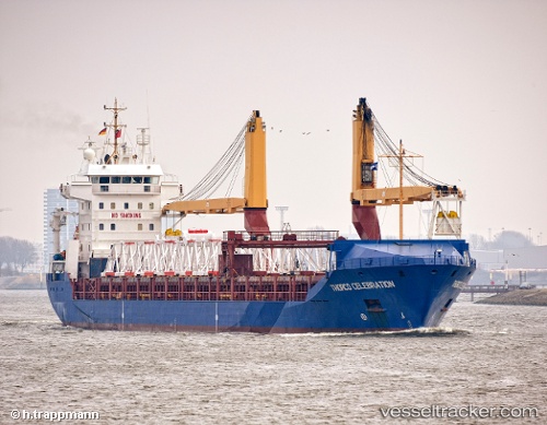
Vessel profile: CELESTIA is a General Cargo Ship with dimensions 143m x 18m.
This page combines live AIS, route history, probable destination signals, nearby traffic, and port activity for practical vessel monitoring.
The current position of vessel CELESTIA is 4.20109 lat / 73.49359 lng. Updated: 2026-05-19 11:53:52 UTCNearest reference points:
- Near Maamigili Port
Currently sailing under the flag of Panama ![]()
CELESTIA built in 2002 year
Deadweight:
10325 tDetails:
Live Vessel CELESTIA Analytics (details, animations, etc.)
Recent AIS points (UTC):
2026-05-19 07:50:53 UTC · 4.20114, 73.49359 · SOG 0.1 kn · COG 248°2026-05-19 10:08:52 UTC · 4.20015, 73.49370 · SOG 0.4 kn · COG 294°
2026-05-19 10:17:53 UTC · 4.20098, 73.49369 · SOG 0 kn · COG 244°
2026-05-19 11:53:52 UTC · 4.20109, 73.49359 · SOG 0.1 kn · COG 238°